The Dast in Brochterbeck: views, kite meadow & rocky trails
2025-12-22
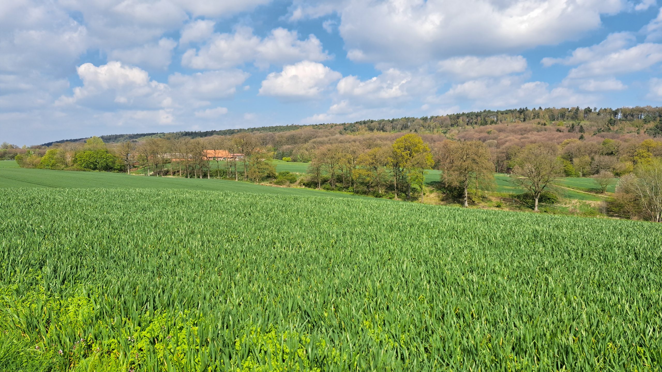
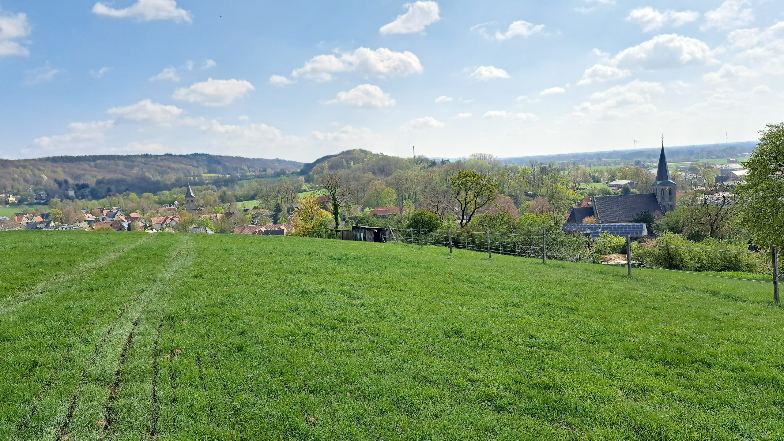
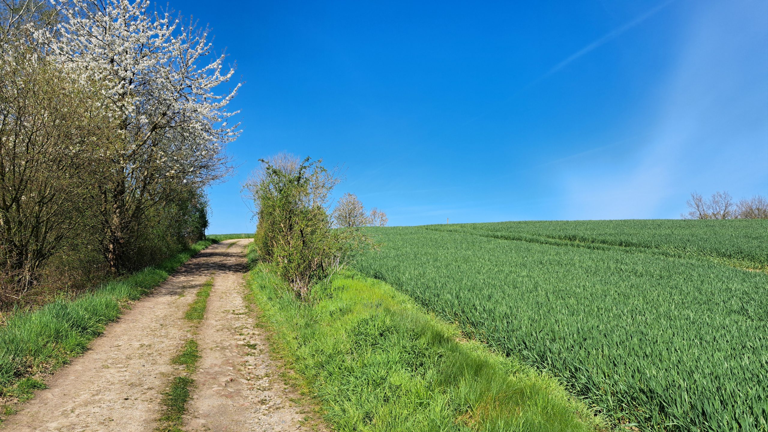
"Die Dast" is one of those places that feels like a well-kept secret – even though it can be reached straight from the village. Down below, Brochterbeck feels calm and idyllic. But just a short climb later you're up at the forest edge, where the wind blows more freely and the horizon opens up: this is where the Teutoburg Forest shows its character.
The Dast is a perfect start to Brochterbeck's finest short loop – including a viewpoint, the "Wetterpilz" shelter, the Hermannsweg trail and the Drei-Kaiser-Stuhl natural monument.
What exactly is "the Dast"?
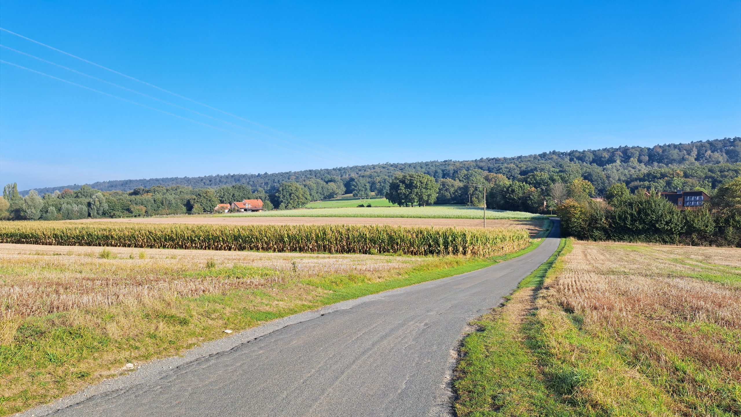
In practical terms, "Dast" is the section you turn onto during the "Rund um den Kleeberg" (Around the Kleeberg) loop: from the village square along Moorstraße, past the village pond, along the Kleeweg – and then at the fork right onto the "Dast". A short path out of the village and into views, forest and open space.
Why the Dast is a real insider tip
1) Views you wouldn't expect this close to the village
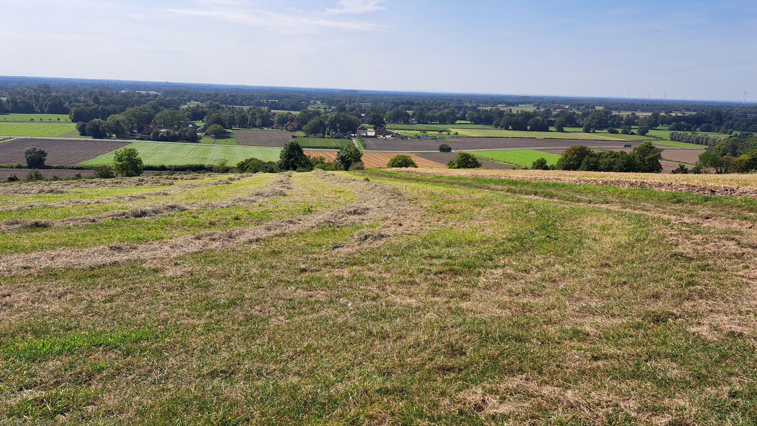
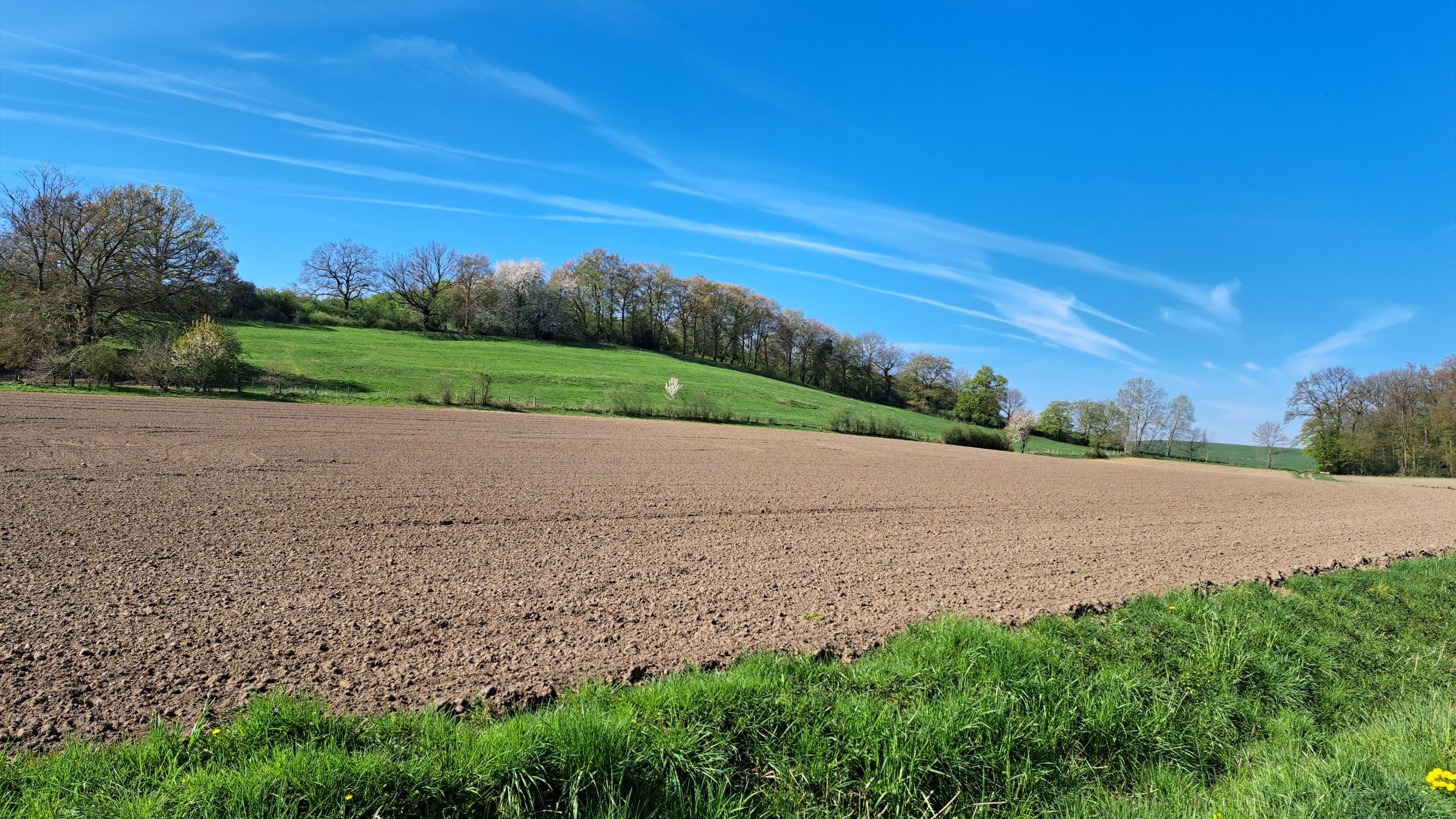
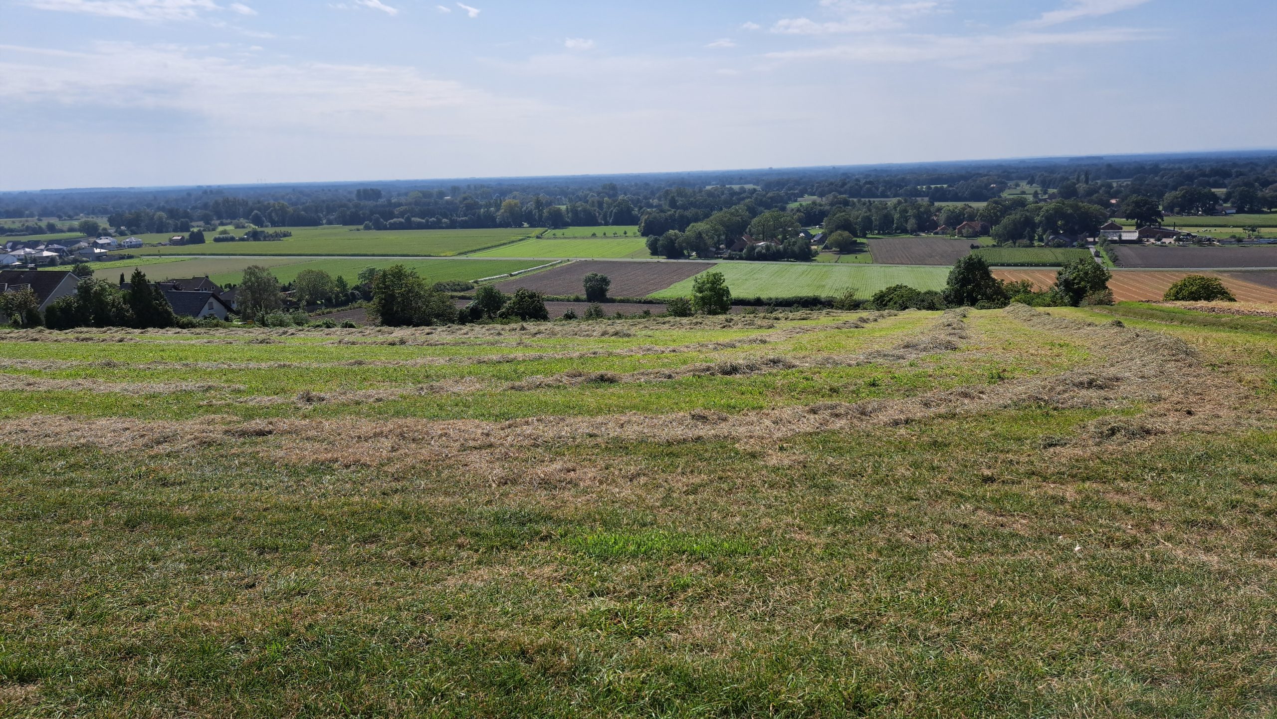
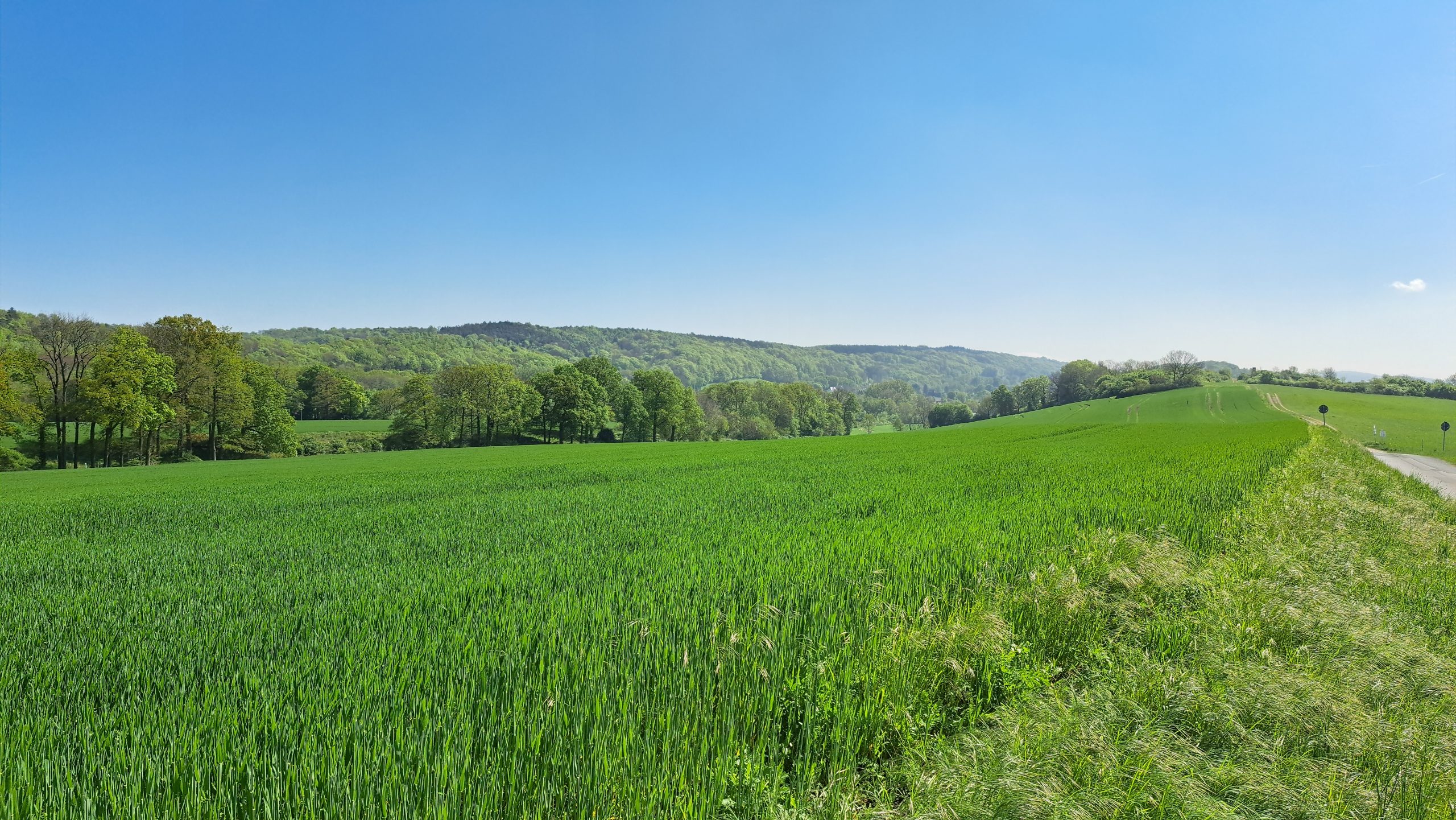
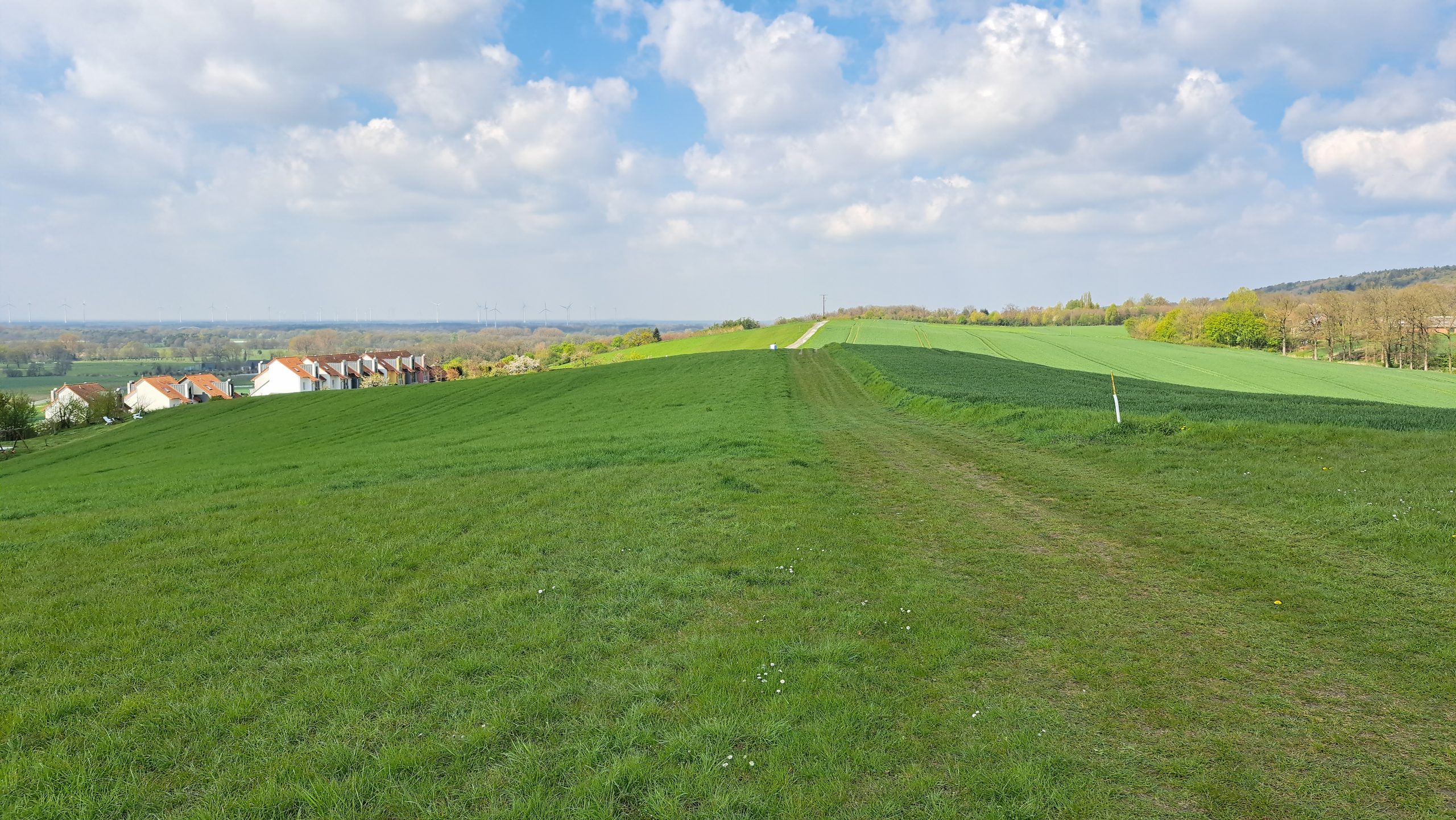
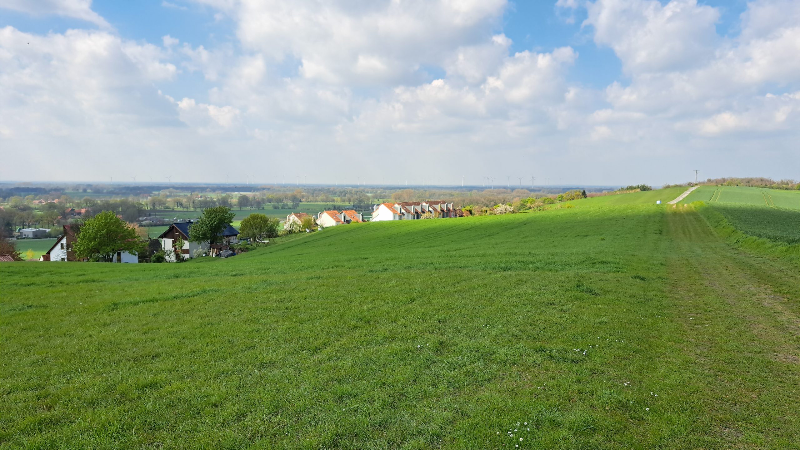
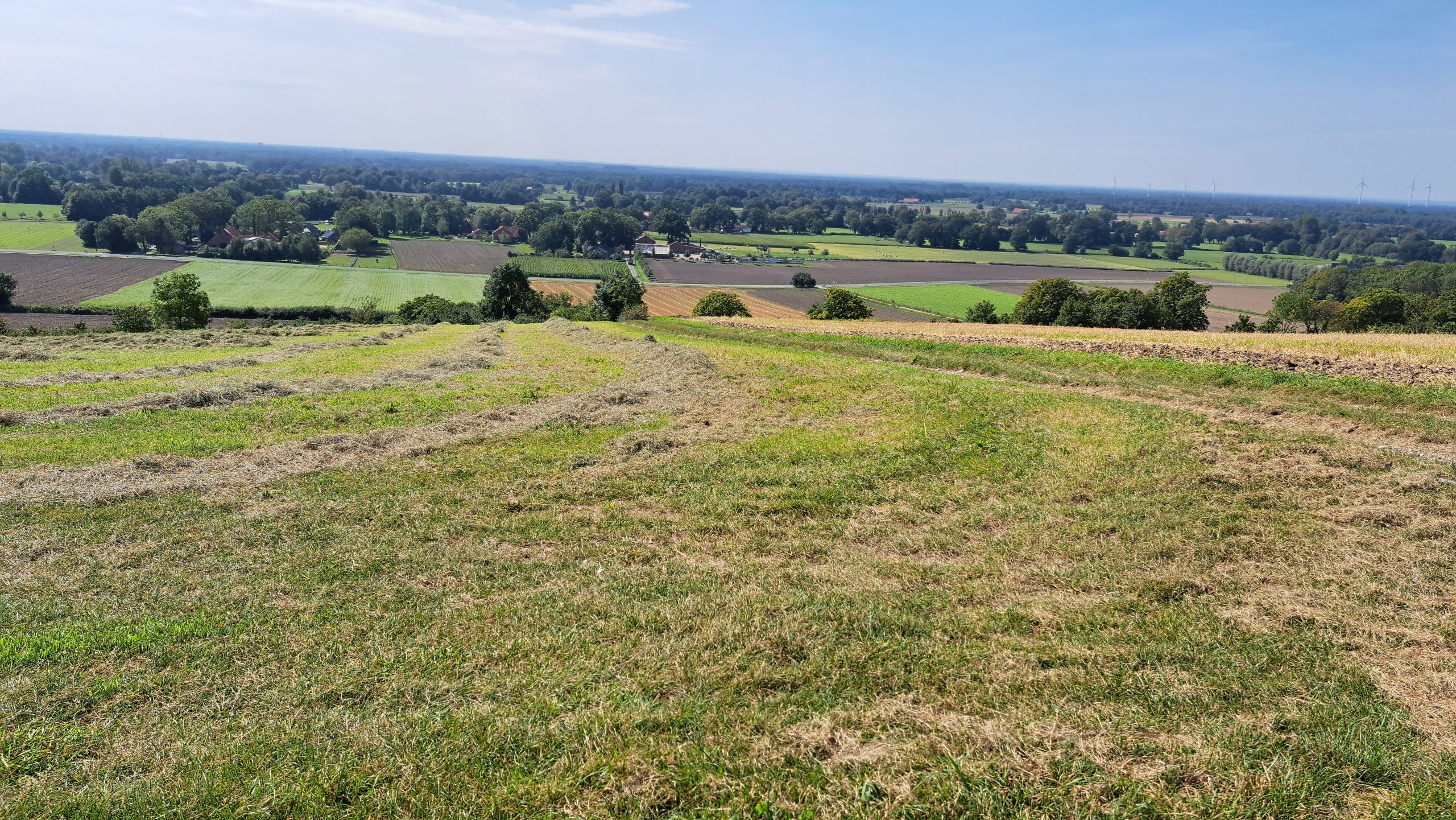
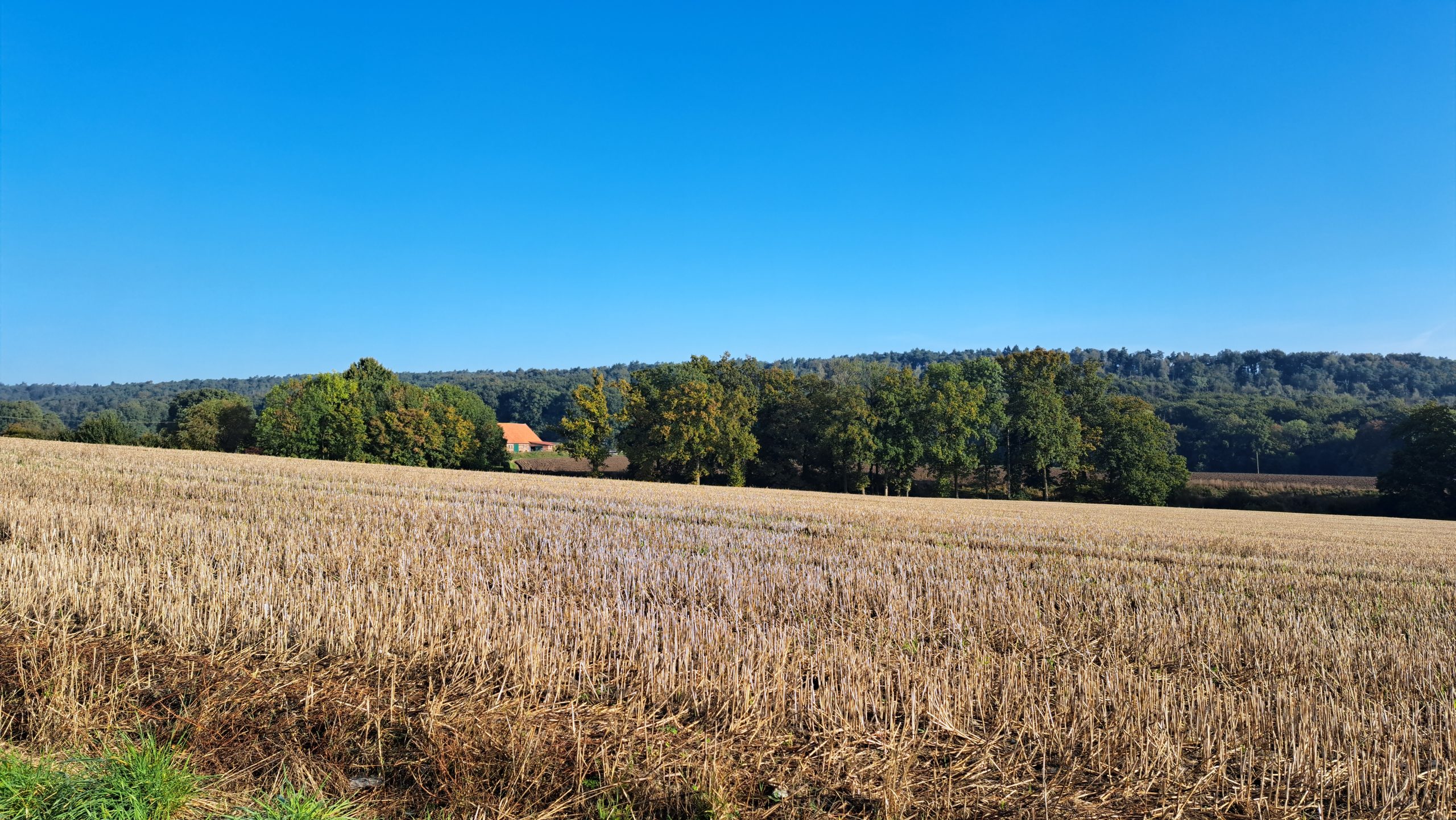
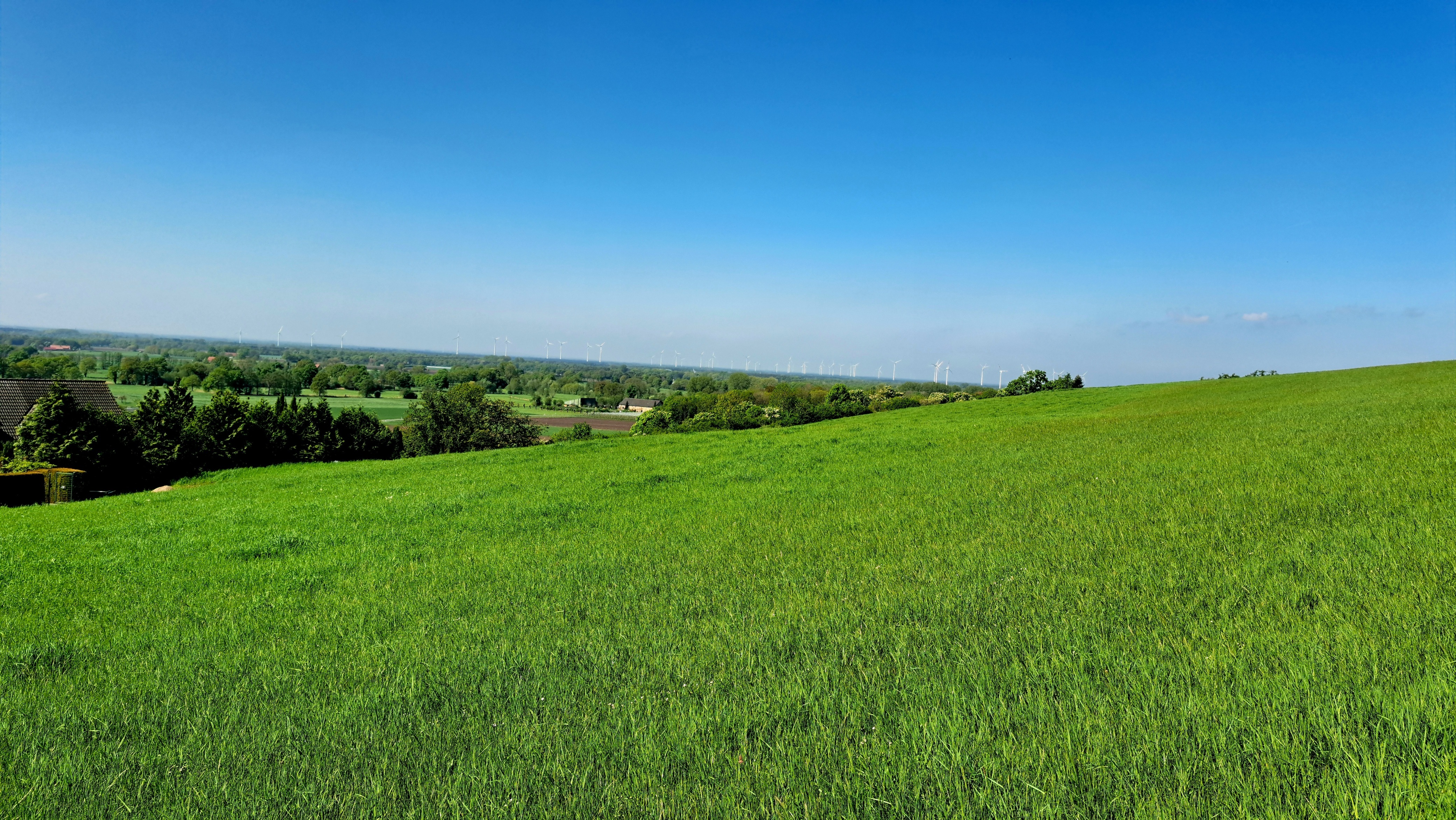
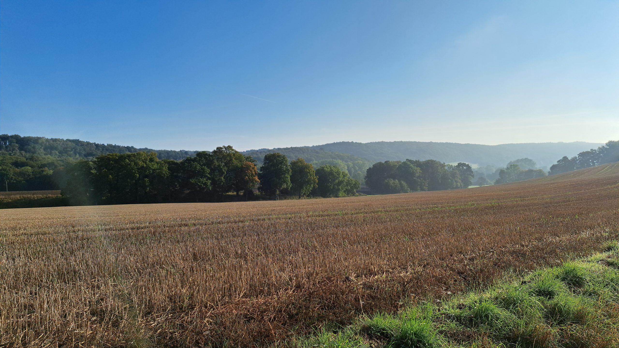
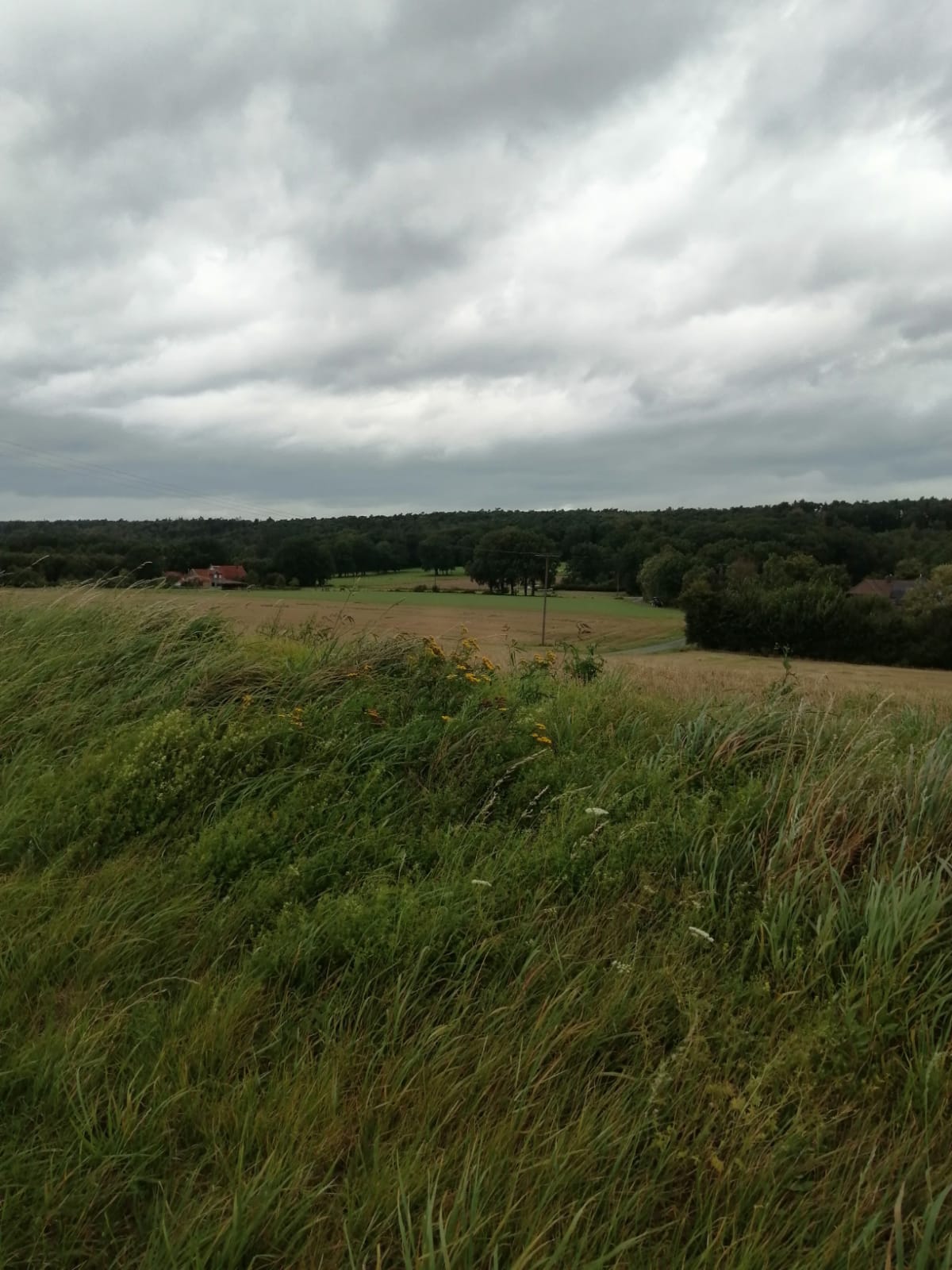
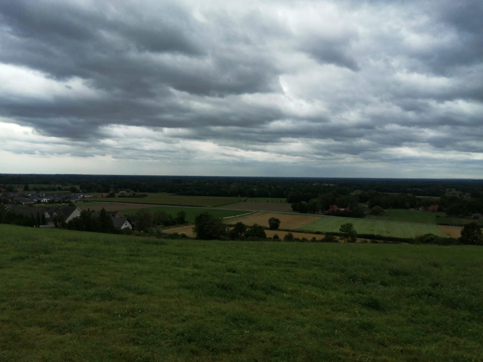
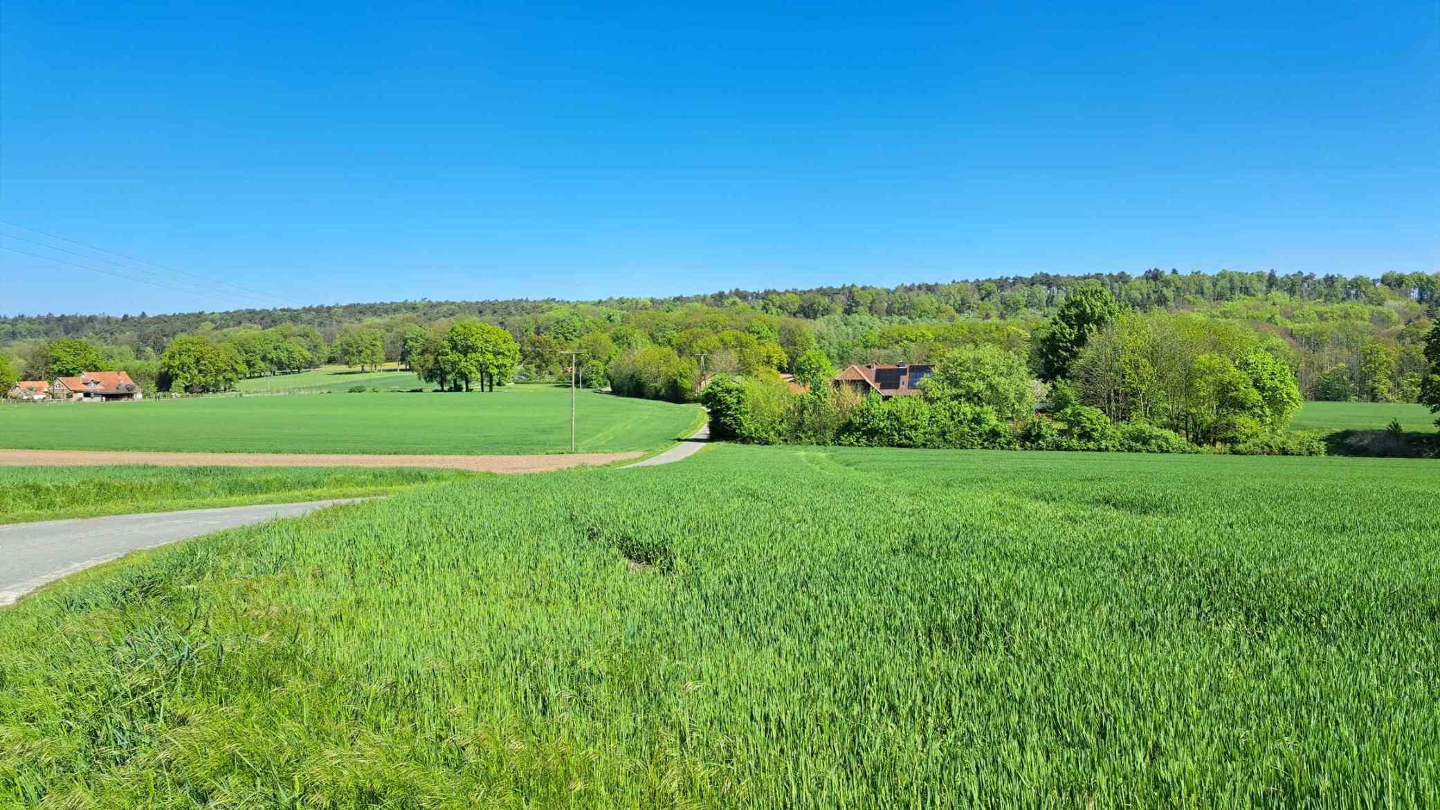
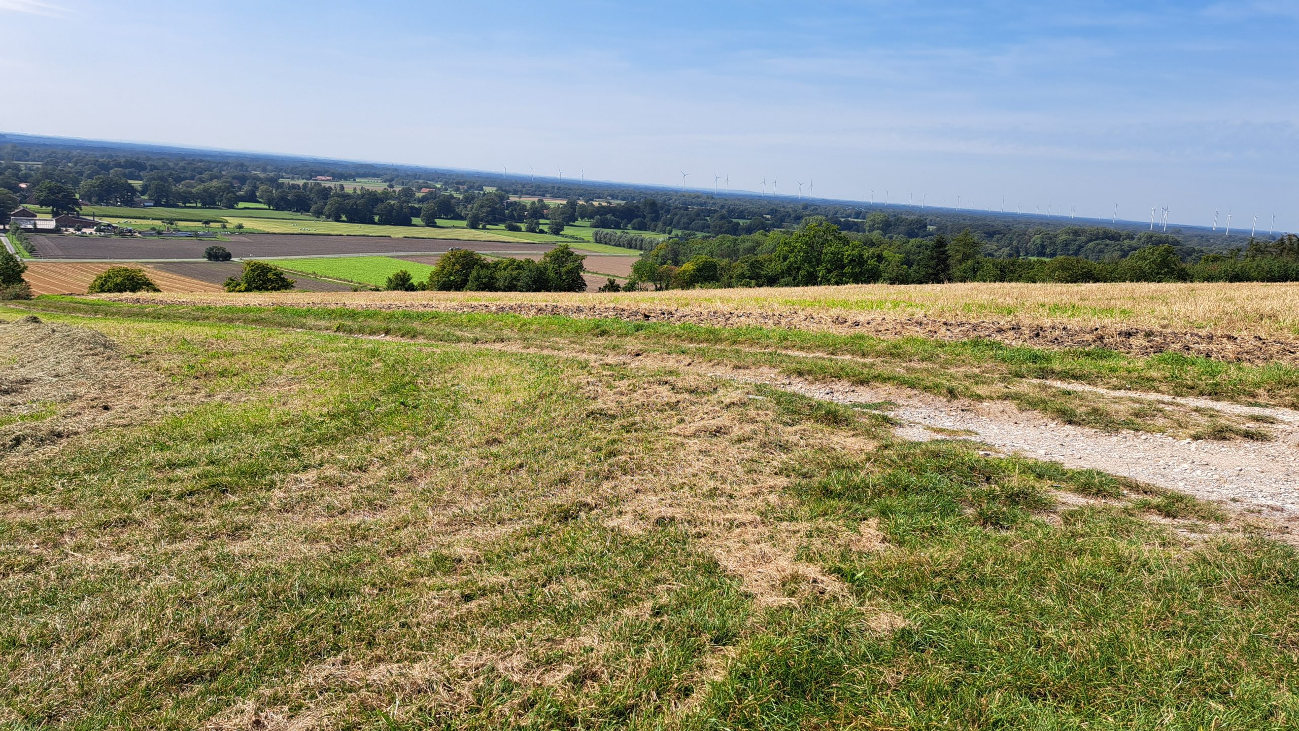
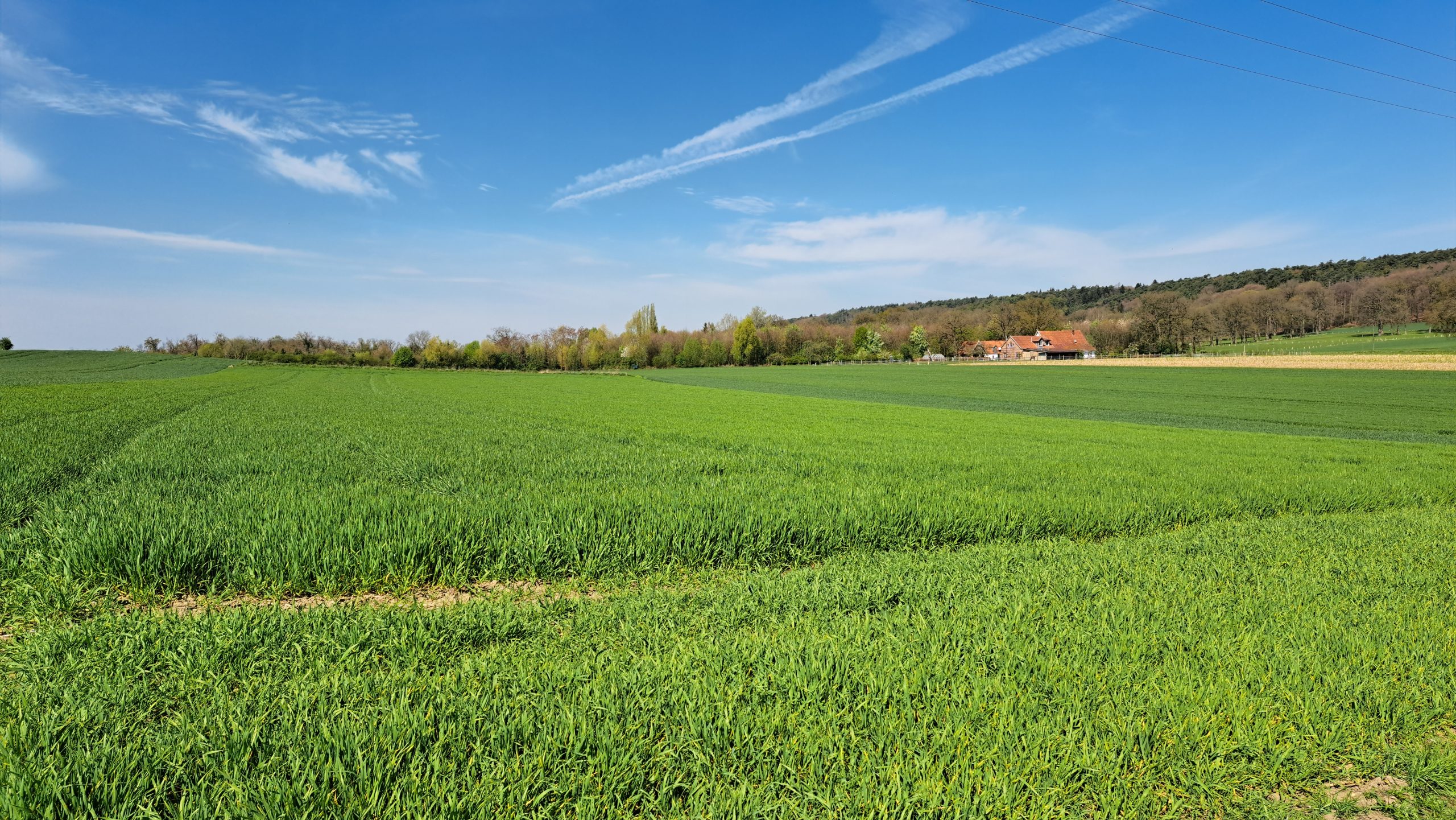
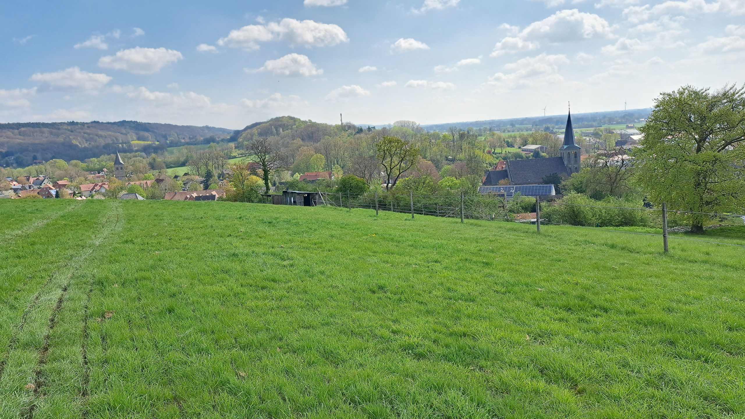
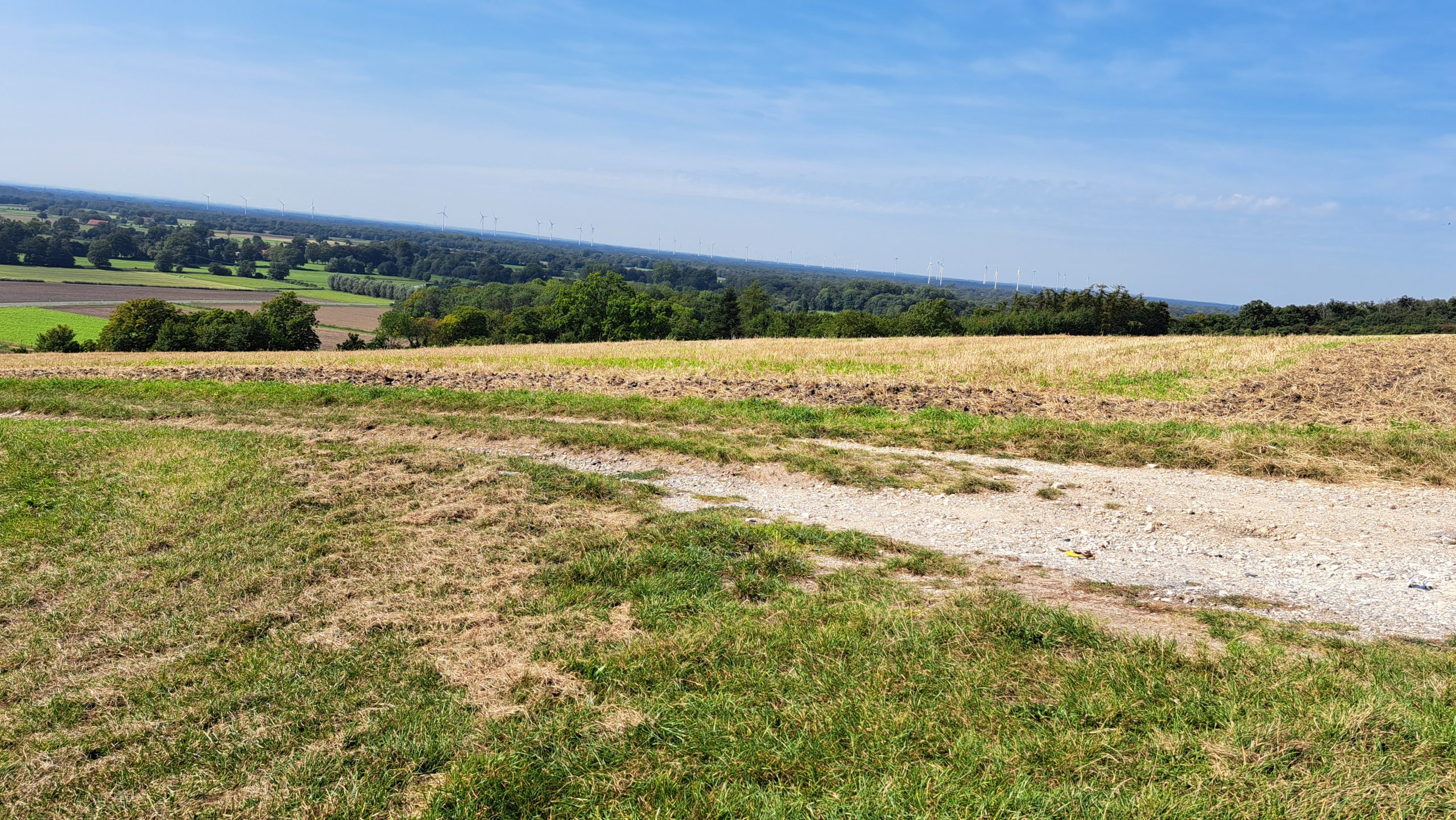
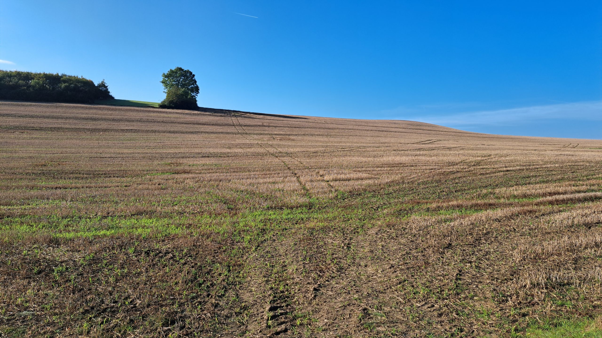
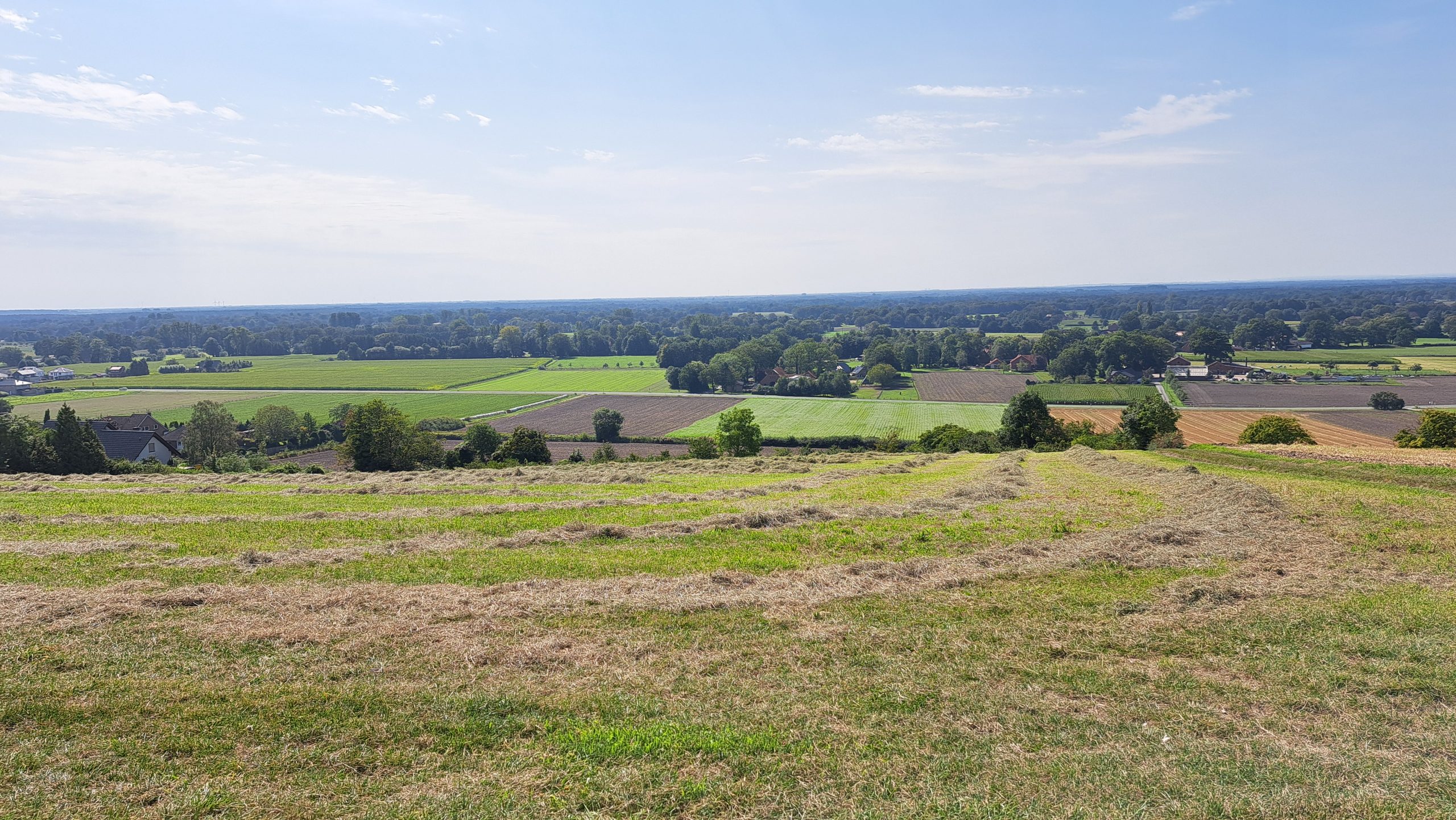
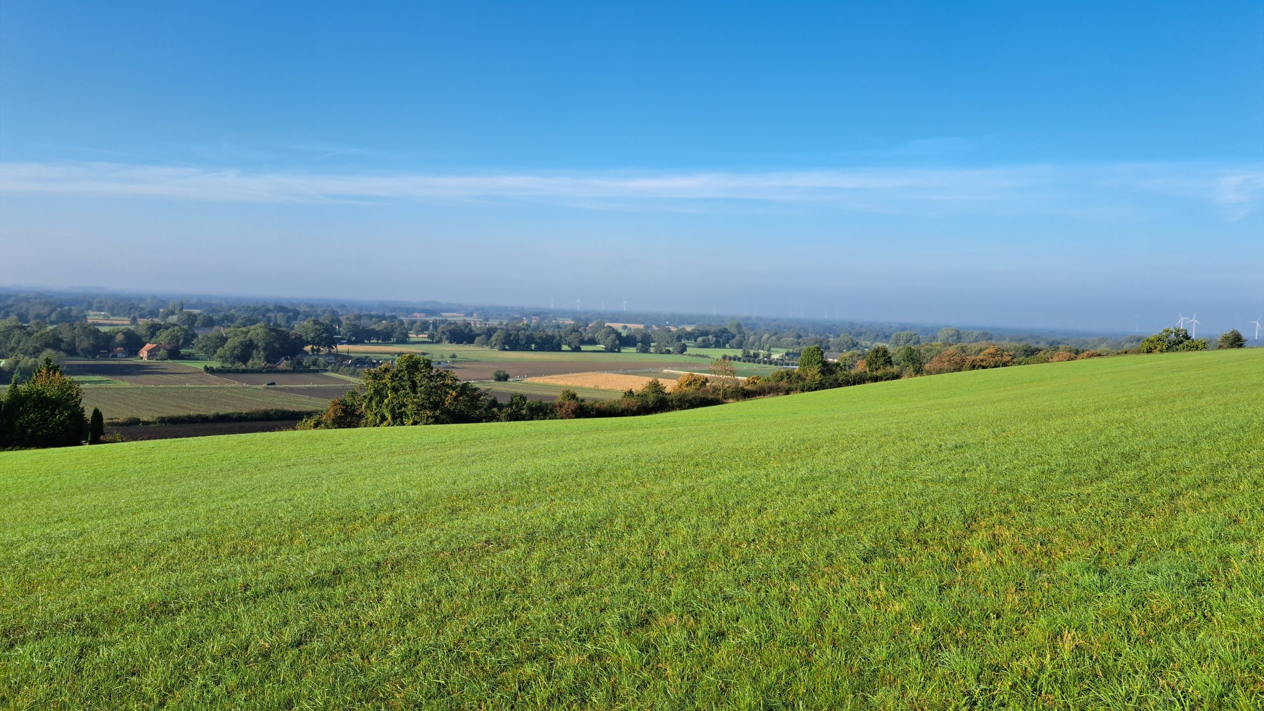
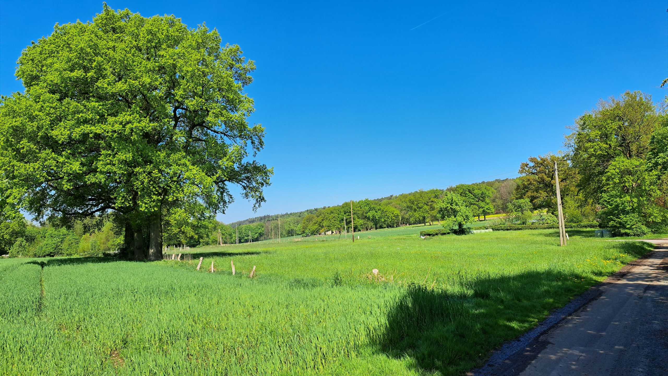
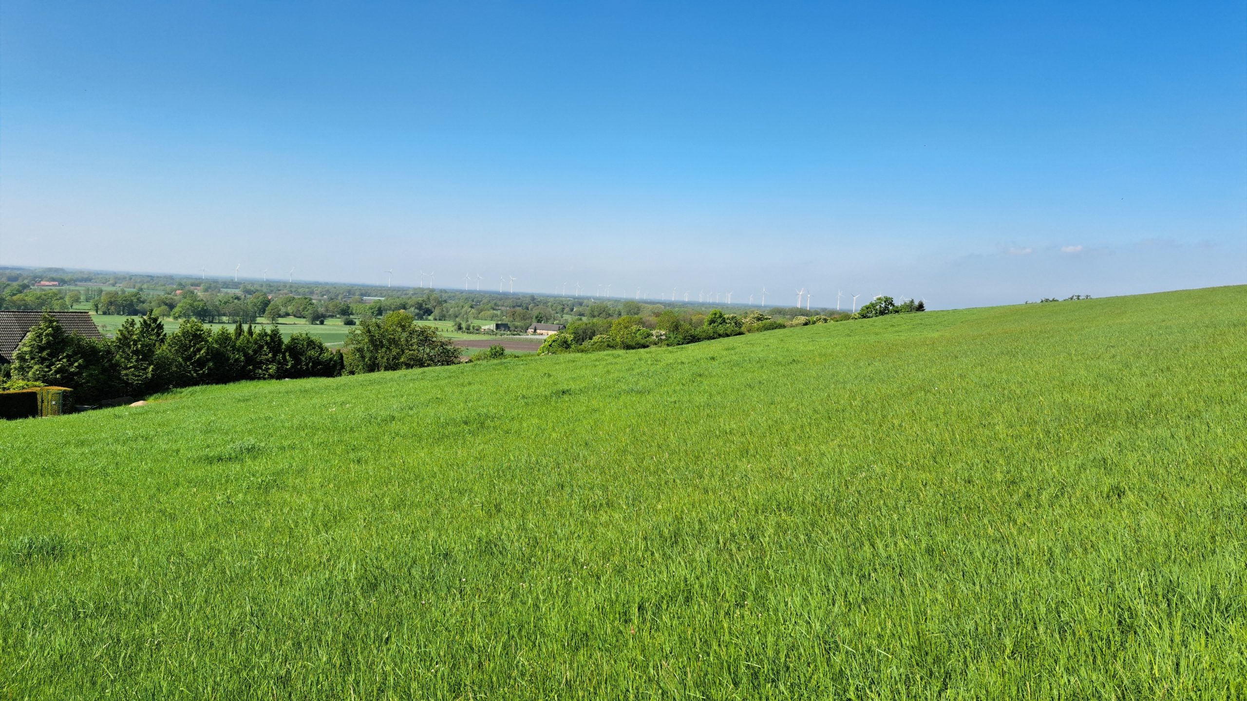
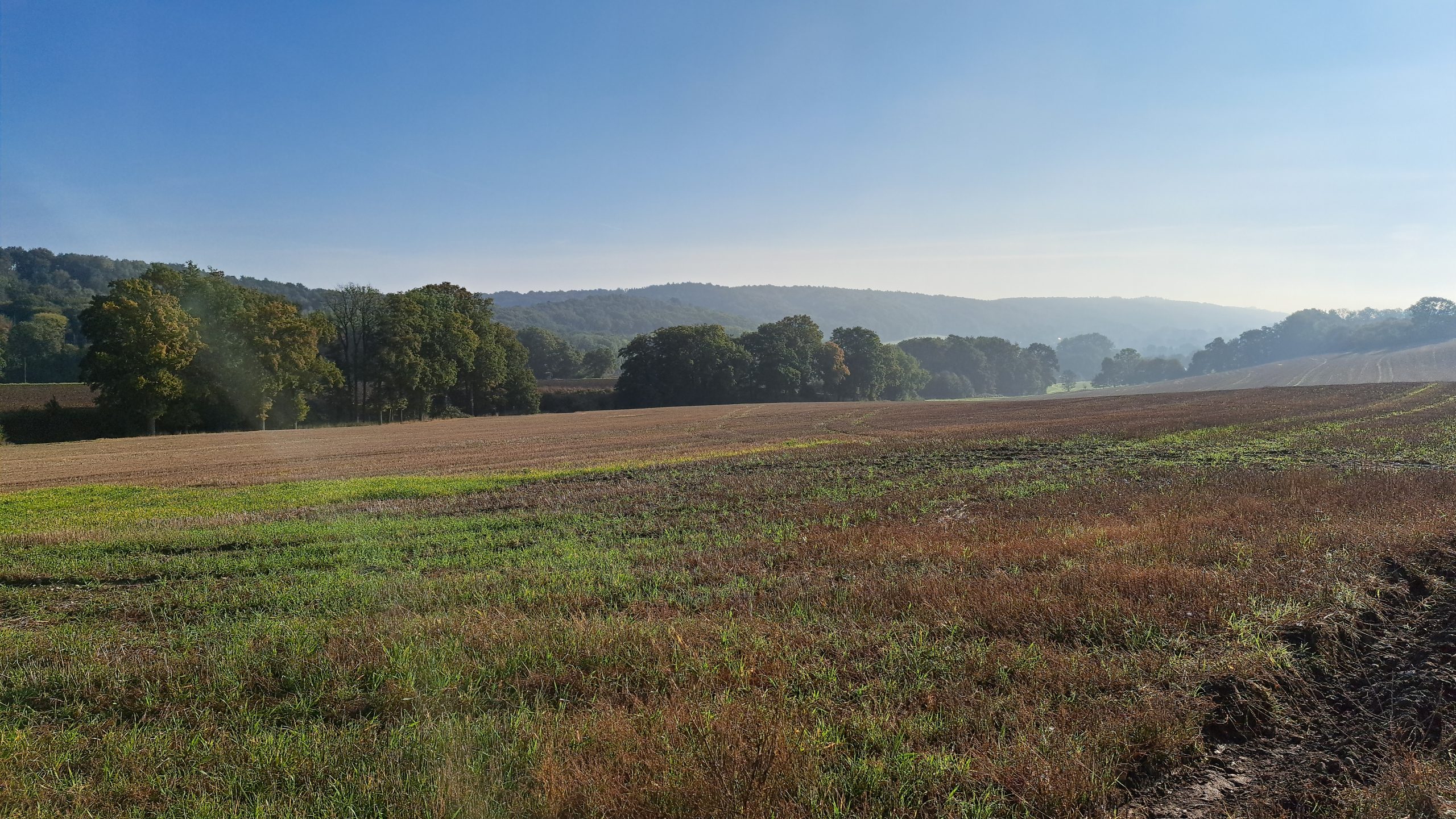
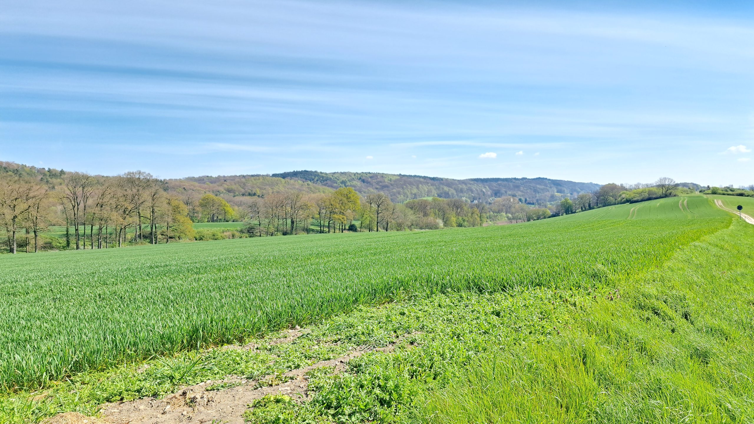
On the western Kleeberg, the path runs along the south-facing slope with wonderful views over the Münsterland – on clear days even as far as Münster.
2) A kite meadow included
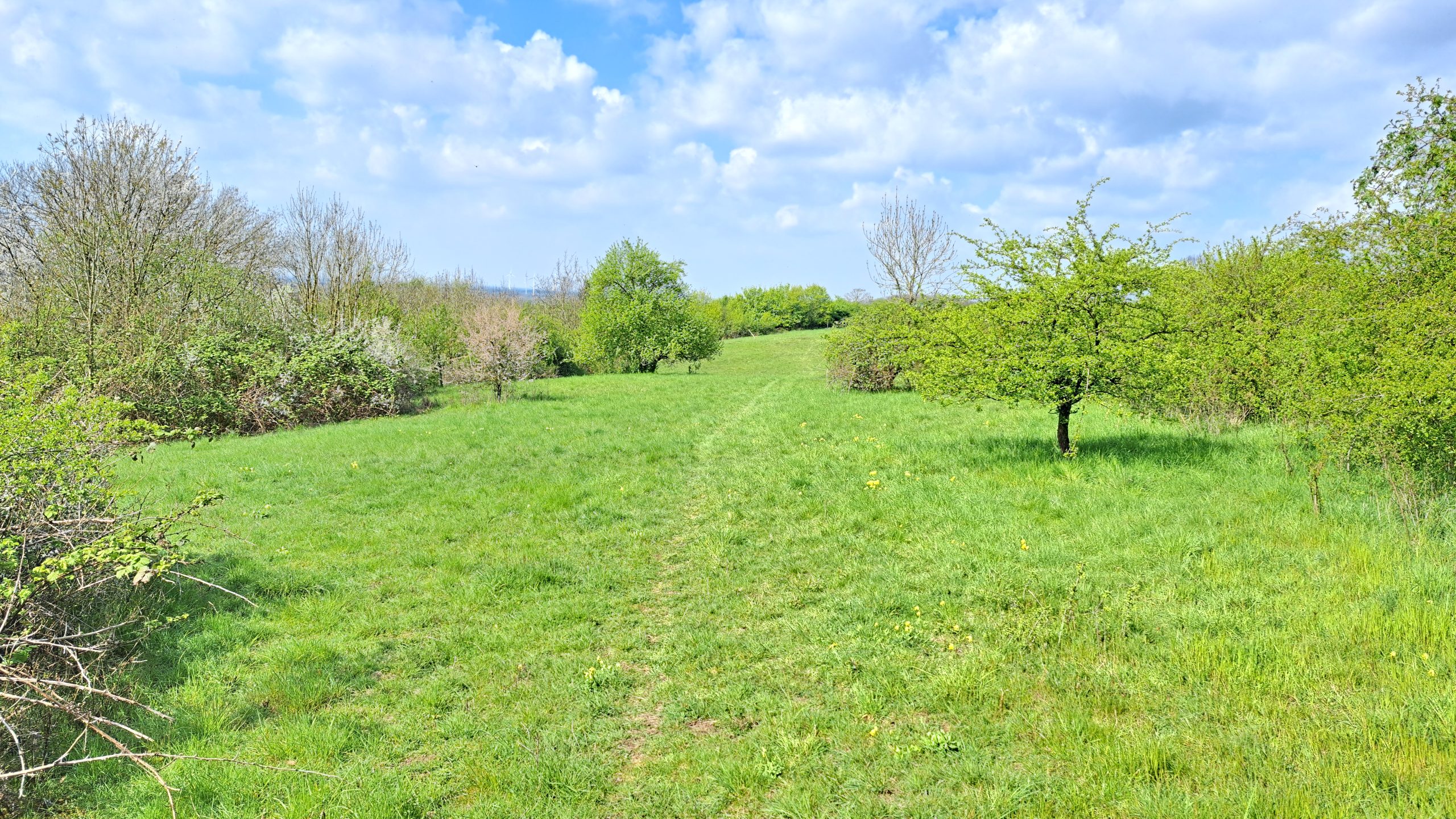
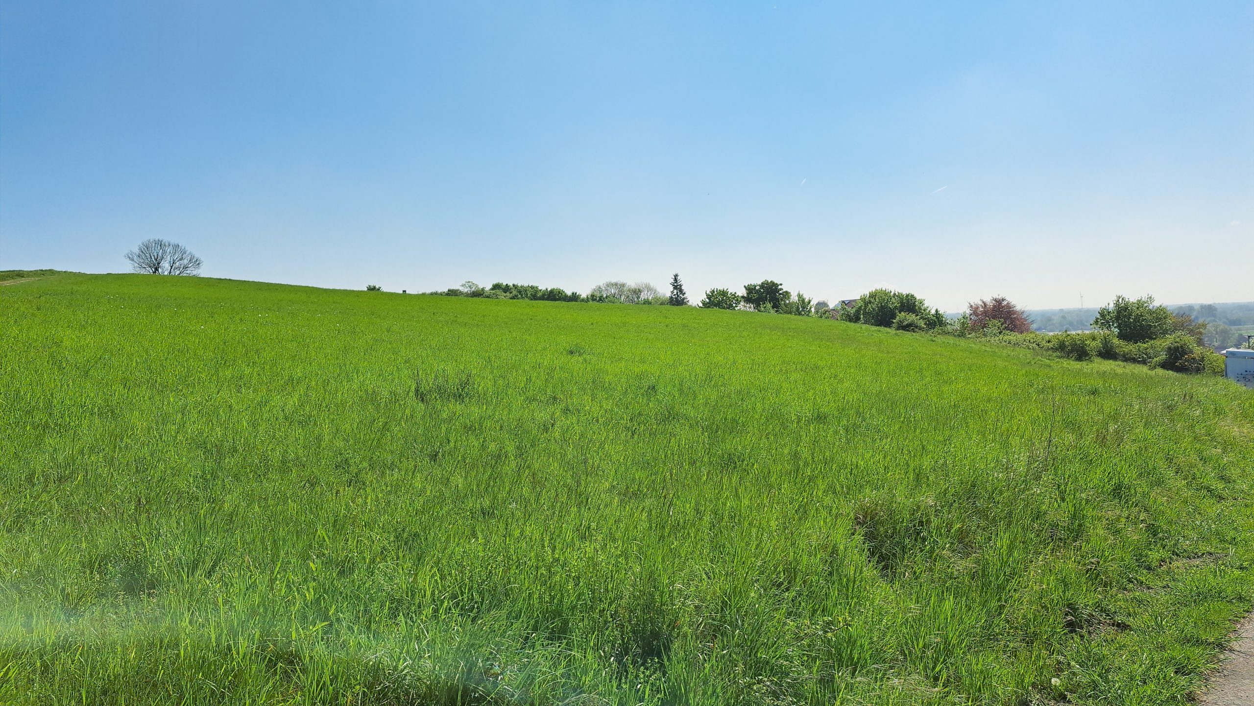
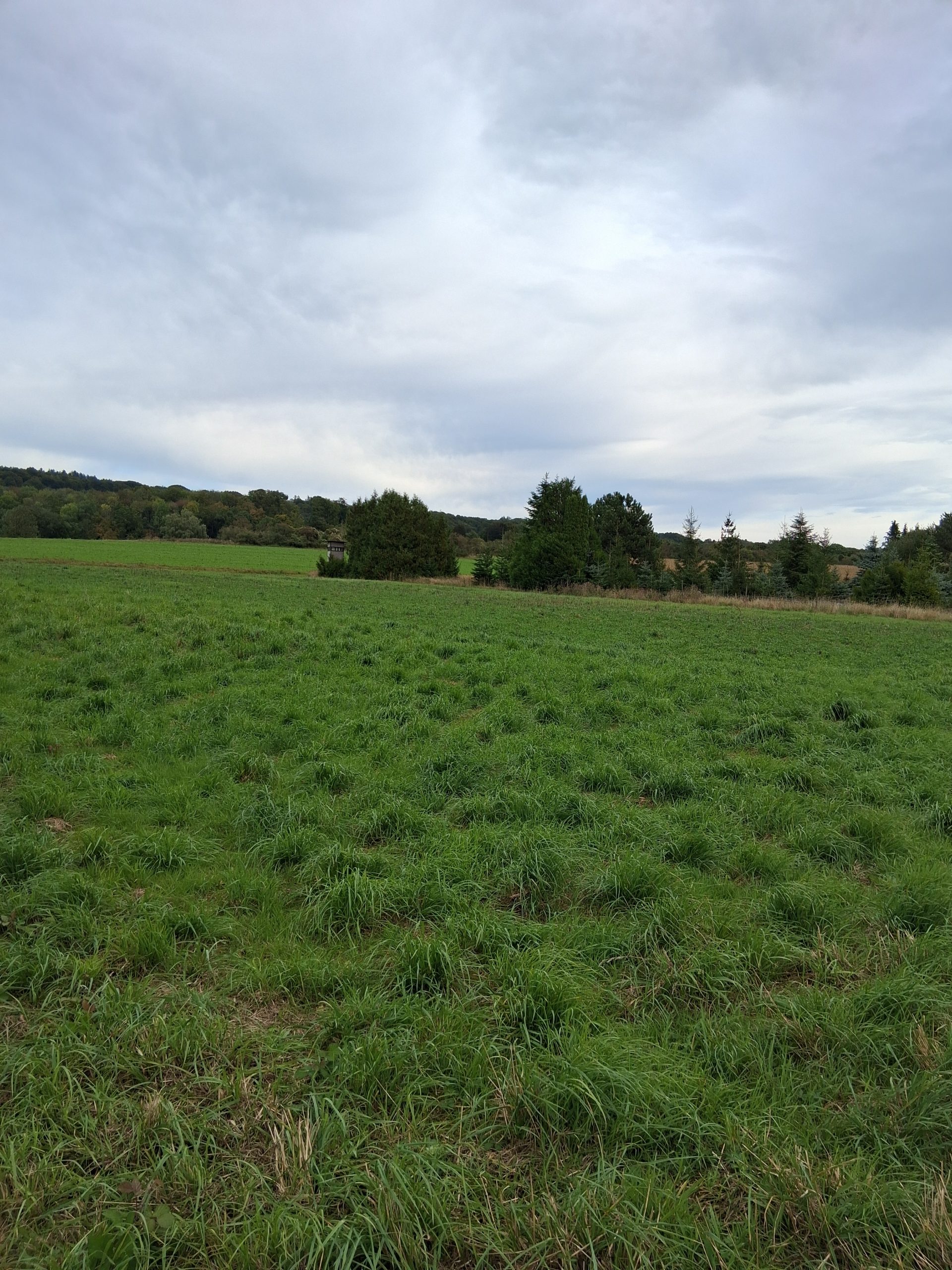
The Dast is home to the grounds of the kite-flying club "Höhenwahn" – kite flying is possible here all year round. Plenty of sky, plenty of wind, plenty of freedom.
3) A rock backdrop within reach
If you want more, you'll find one of the most impressive rock landscapes in the Teutoburg Forest: the Dörenther Klippen, a roughly 4 km band of bizarre sandstone towers (incl. the "Hockendes Weib" / Crouching Woman). Access via the "Im Bocketal" hikers' car park is an established starting point.
A little geology
The Dörenther Klippen belong to the Osning sandstone – the characteristic sandstone ridge that forms the "backbone" of the Teutoburg Forest and is often called the "gold of the Teutoburg Forest".
The perfect short loop: "Rund um den Kleeberg" (approx. 3.6 km)
- From the village square left into Moorstraße
- Past the village pond, then right up by the church following the Kleeweg
- At the fork, right onto the "Dast"
- Past the kite meadow and the "Westlicher Kleeberg" viewpoint
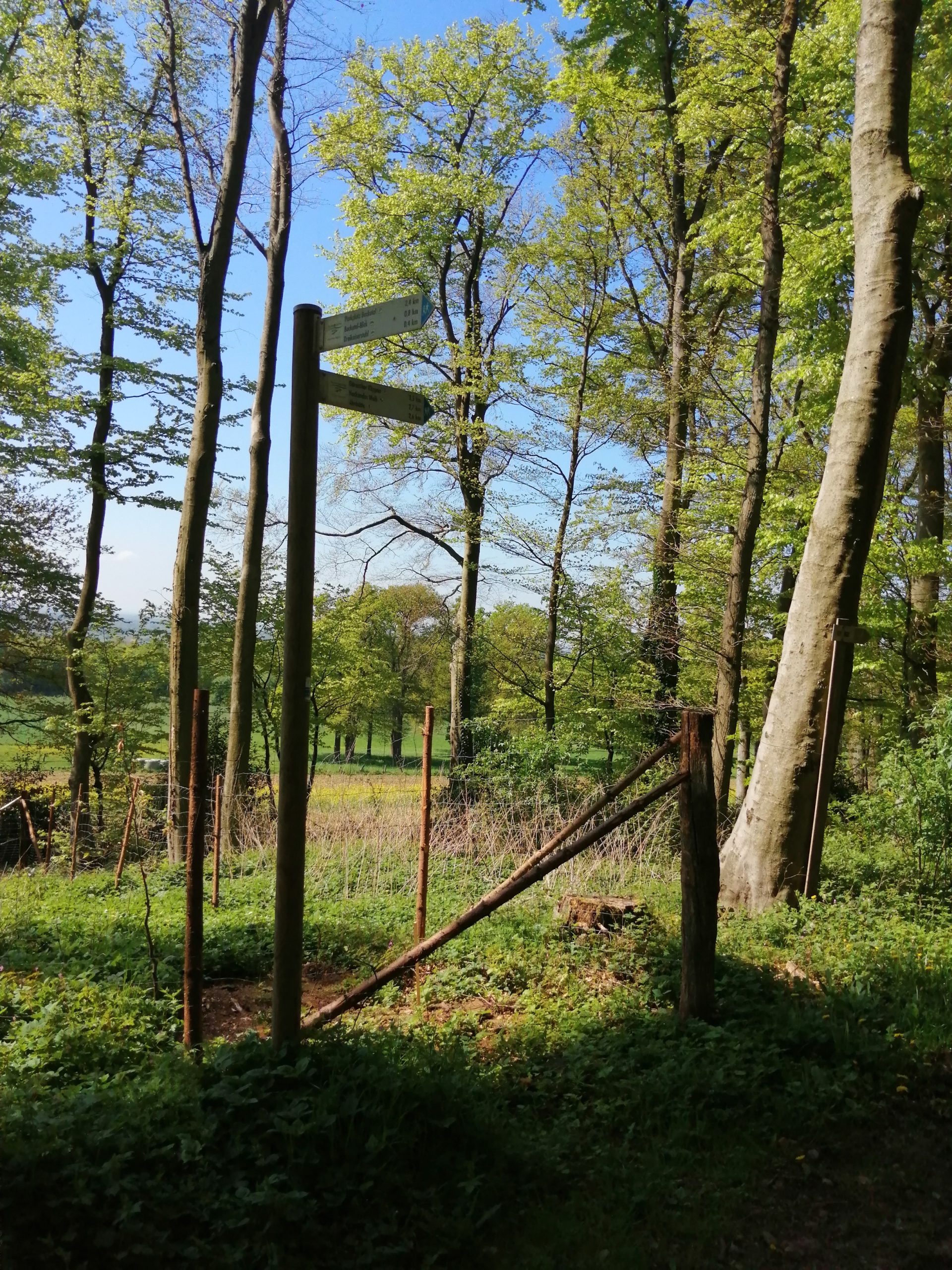
- Continue up into the forest to the Wetterpilz shelter
- At the Wetterpilz, right along the Hermannsweg (marked "H")
- Past the Drei-Kaiser-Stuhl to the road "Zu den Klippen"
- Via "Zu den Klippen" and Moorstraße back to the start
Tip: early morning (clear air) or late afternoon (soft light).
Practical tips
- Footwear: sturdy hiking shoes – the paths can be rooty and stony.
- Children: take extra care near edges and rocks.
- Parking: the village centre (village square) or the "Im Bocketal" hikers' car park.
FAQ
What's the easiest way to get to the Dast?
Via the "Rund um den Kleeberg" loop: from the village square along Moorstraße/Kleeweg, then right onto the "Dast".
Is there really a kite meadow there?
Yes – the grounds of the kite-flying club "Höhenwahn", open for kite flying all year round.
Is the Dast the same as the Dörenther Klippen?
The Dast is the gateway to views & forest trails around Brochterbeck; the Dörenther Klippen are the larger rock landscape nearby.
Gallery
Where to find it
The Dast in Brochterbeck: views, kite meadow & rocky trails